Earth Observation for Sustainable Development: Harnessing the Power of Chinese Satellites
Equipping participants with practical skills to access, process, and apply Chinese EO satellite data to real-world sustainable development challenges.
Course Start
Jun 03, 2026
Course End
Jun 30, 2030
Duration
05:00
Certificate
Yes
About this Course
The world is facing unprecedented challenges in achieving the Sustainable Development Goals (SDGs). Timely, accurate, and accessible geospatial data is critical for monitoring progress, making informed decisions, and driving effective action. This online course empowers participants to harness the power of Chinese Earth Observation (EO) satellites — a rapidly growing and increasingly vital resource — to address these challenges.
The course is structured into four modules, beginning with an introduction to Chinese EO satellites and data access. Subsequent modules delve into optical and Synthetic Aperture Radar (SAR) data processing and analysis. The final module focuses on practical case studies demonstrating how Chinese EO data can contribute to SDG targets — particularly in areas like disaster risk reduction, water resource management, and socio-economic assessments.
This online course introduces the participants to Chinese Earth Observation satellite systems and explores the following concepts:
- Introduction to Chinese Earth Observation Satellites and Data Access
- Optical Satellite Data Processing and Analysis
- SAR Data Processing: Seeing Through Clouds and Darkness
- Real-world Case Studies: Chinese EO Data for the SDGs
The course will be structured with pre-recorded video lectures, step-by-step demonstrations, and downloadable datasets, followed by module-based quizzes and an optional capstone project that participants complete individually.
What you will learn
After completing the course, the participants will be able to:
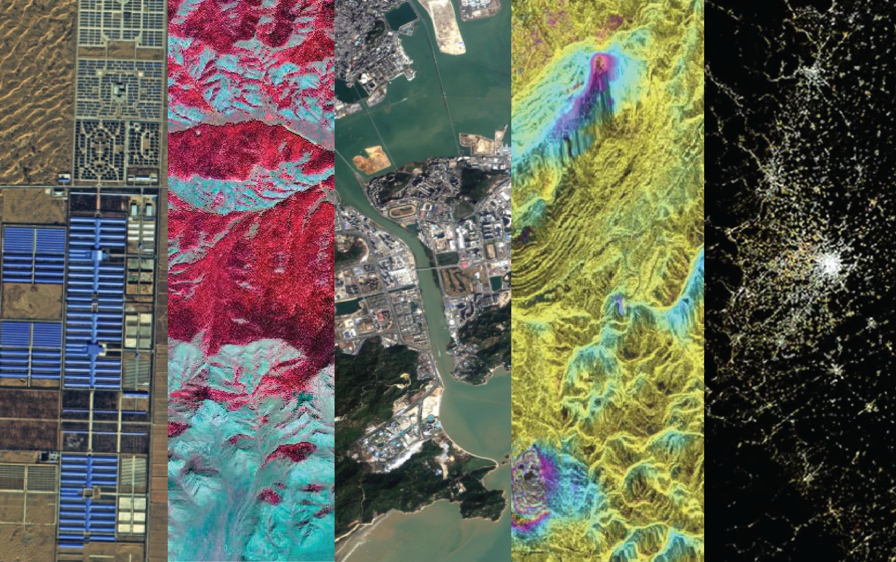
- Understand Chinese EO Satellite Systems: Grasp the capabilities and limitations of key Chinese EO satellite constellations (Gaofen, Ziyuan, HJ, Haiyang) and compare them with international missions such as Landsat and Sentinel.
- Access and Acquire EO Data: Navigate official Chinese data portals, partner institutions, and cloud-computing platforms to search, discover, and download both optical and SAR datasets.
- Process and Analyze EO Data: Perform essential image processing steps including radiometric and geometric corrections, atmospheric correction for optical data, and speckle filtering for SAR data.
- Apply EO Data to Real-World SDG Challenges: Develop practical solutions for disaster risk management, water resource monitoring, and socio-economic impact assessments through techniques such as flood mapping, land cover classification, and vegetation health monitoring.
- Develop and Interpret Case Studies: Understand how EO-driven insights can inform sustainable development and create an independent case study applying Chinese EO data to a chosen SDG challenge.
Specific knowledge and skills gained:
- Ability to identify the optimal Chinese satellite data source for specific SDG-related applications based on spatial resolution, spectral bands, and revisit time.
- Skill in executing end-to-end land cover classification workflows using Gaofen optical imagery in QGIS or SNAP.
- Competence in applying remote sensing indices (NDVI, NDWI, MNDWI, NDMI) for water and vegetation monitoring at national, regional, and global scales.
- Capability to conduct SAR-based flood mapping and rapid damage assessment using Gaofen-3 data.
- Ability to perform time-series analysis to track changes in water resources and link results to SDG indicators.
Target Audience
This course is designed for practitioners working in water resource management, climate change adaptation, environmental protection, disaster response, and urban planning; government officials, NGO staff, and policymakers seeking data-driven geospatial insights; researchers and academics in remote sensing, GIS, environmental science, and related fields; and advanced undergraduate or graduate students seeking practical skills in geospatial data analysis and SDG applications.
This course has been jointly developed by
UNOOSA/UN-SPIDER Beijing Office
United Nations Platform for Space-based Information for Disaster Management and Emergency Response providing expertise in space-based information for disaster management and EO data usage for the SDGs
Wuhan University
Leading academic institution in China with a focus on aeronautics, astronautics, and remote sensing
UNU-INWEH
United Nations University Institute for Water, Environment and Health specializing in water-related research and capacity development
APSCO
Asia-Pacific Space Cooperation Organization promoting the development of collaborative space programs among Member States in peaceful applications of space science and technology