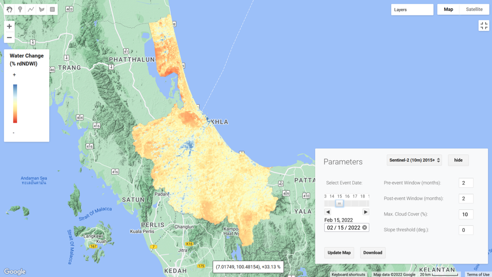
Active and Passive Satellite Data Analysis Using Cloud Computing for Surface Water/Flood Mapping
This online course introduces the participants to Earth Engine Code Editor platform and implementation of surface water detection algorithm using passive and active remote sensing.


Course Start
Dec 20, 2022

Course End
Dec 31, 2027
Duration
14 hours
Certificate
No
About this Course
Google Earth Engine is a cloud-based geospatial remote sensing processing platform, complete with an extensive public data catalogue. The Earth Engine API is available in Python and JavaScript, making it easy to harness the power of Google’s cloud for your own geospatial analysis. It provides ready-to-use, cloud-hosted datasets and a large pool of servers. It is also faster than traditional software and can reduce the processing time in half. Earth Engine also has many datasets available in its repository that users with limited coding backgrounds can readily and easily use. This platform is where users can write and execute scripts to share and repeat geospatial analysis and processing workflows, such as surface water detection, land cover mapping, biomass estimation, etc.
This online course introduces the participants to Earth Engine Code Editor platform, explore some basic programming concepts to process and analyse Optical and Synthetic Aperture Radar (SAR) remote sensing datasets for flood inundation mapping, change detection and damage assessments using indices and algorithms including:
- Spectral Water Indices (NDWI, MNDWI, NDPI, etc.)
- Time Series Analysis of Flooded Water Areas
- SAR Backscattering Thresholds - Flood Inundation Mapping and Change Detection
- Flood Frequency and Time Series Analysis
- Water Ratio Index (WRI)
- Simple Water Index (SWI)
The course will be structured with presentations and demonstrations to introduce material, followed by assessments that participants complete individually.
What you will learn
After completing the course, the participants will be able to:
- Understand the GEE Code Editor platform
- Explore a range of examples on optical spectral indices and SAR backscattering threshold values used to detect flooded water at the local to global scales
- Identify the Flood Frequency and Time Series Analysis of certain areas to be used in spatial planning and long term decision making process
Specific knowledge and skills gained:
- Knowledge of key JavaScript concepts and Earth Engine syntax.
- Ability to access Earth observation data from various public data catalogs on a cloud platform.
- Implement various surface water detection methods in Earth Engine at the national, regional and global scale.
Target Audience
Water and disaster management professionals and postgraduate students with interests in using big data and cloud computing to map surface water
Course developed by
Mir Matin
Senior Researcher: Water Resources Management
United Nations University Institute for Water, Environment and Health
Hamid Mehmood
Economic Affairs Officer
United Nations Economic and Social Commission for Asia and the Pacific
Hammad Gilani
Researcher – Remote Sensing and GIS
International Water Management Institute
Note
This course has been jointly developed by UNU Institute for Water, Environment and Health and United Nations Economic and Social Commission for Asia and the Pacific