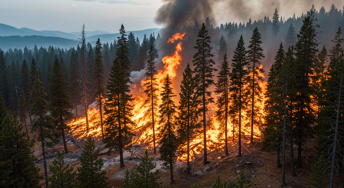
Remote Sensing of Wildfire Management
This online course provides the basic principles of fire occurrence, behaviour, and fuel management. Emphasis is placed on the application of remote sensing data and GIS.
Course Start
Nov 30, 2025
Course End
Dec 31, 2028
Duration
8:00
Certificate
Yes
About this course
Vegetation heat and fuel conditions are very important elements in the “fire triangle (fuel, heat, and oxygen)” to trigger fires. Basic principles of forest fuel heat exchange, fire occurrence and fire behaviour are explored. Understanding fuel conditions in agricultural lands or forests important for predicting fire's impact on forests and the wildland-urban interface, as well as understanding carbon emission will be acquired.
What you will learn
After completing the course, the participants will be able to:
- Exploit satellite data freely available online
- Understanding of fuel moisture, and vegetation heat transfer
- Understanding of vegetation fuel’s physiology e.g. carbon emission or sink
Course Topics
- Intro to fire behavior and fuel moisture:
- Why do we need large-scale observations? What is spatial representativeness?
- Advantages and limitations of currently available sensors for pre-fire management
- Soil moisture for pre-fire management:
- Its significance in carbon and fire management and technical merits of microwave sensors;
- Retrieval algorithms for Passive microwave sensors and Synthetic Aperture Radar
- Limitations and opportunities in fire management
- Fuel thermal/hydrological conditions for pre-fire management:
- NDVI, ECOSTRESS, LFMC from Infrared sensors
- Forest Temp, VOD, VWC from L-band microwave sensors
- Fire energy of warmed surface :
- Basic Principles of heat transfer
- Features of large-scale wildfire spreads
- Sentinel/MODIS fire radiative power over fire-burned areas
- SMOS/SMAP forest temperature over burned areas
- Limitations and discussions
Target Audience:
professionals and postgraduate students with interests in using GIS/satellite data to map, predict and monitor wildfires, agricultural drought, forest warming and climate adaptation & management
Course Developed by
Dr. Ju Hyoung LeeResearch Fellow, Environmental Remote Sensing and Spatial Hydrology
United Nations University Institute for Water, Environment and Health
juhyoung.lee@unu.edu
Manager, Geospatial, Climate and Infrastructure Analytics Programme
United Nations University Institute for Water, Environment and Health
mir.matin@unu.edu